HomeTagsPosts tagged with "hail"

hail

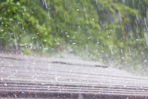
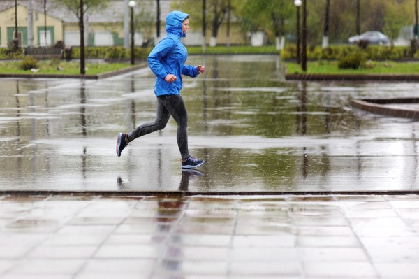
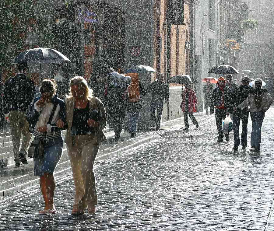
Met Éireann has issued a status yellow weather warning today for five counties, with heavy rain expected to hit the east of the country until Wednesday morning.

The official warning is in place for Dublin, Kildare, Louth, Wicklow and Meath. Motorists have also been urged to take extra care on roads this morning as a result of the wet weather.

Forecaster Pat Clarke said: "The next 24 hours will be the coldest and the wettest."

Clarke continued; "Obviously drivers will have to be careful. There could be some water on the roads and there is the possibility of hail."

A wind-chill factor around coastal areas will contribute to the frosty feel of the weather, with temperatures expected to fall to five degrees.

"There is the possibility of downpours and there may be some thunder mixed in," Mr Clarke said. Dublin Fire Brigade have also issued a road warning:

Unusually, the current inclement conditions have predominantly hit the east coast, Met Éireann says.

The weekend is expected to be far less damp, on Thursday the temperature will rise to 8 degrees and fewer showers will occur.

In terms of traffic, AA Roadwatch has urged motorists to slow down as roads across the country are very slippery this morning:

"Roads are damp or wet in much of the country this morning following overnight rain. It's particularly wet in parts of the midlands and along the east coast."

"When driving on wet roads slow down and leave a safe distance between yourself and the vehicle in front."

West Munster is getting the best of the weather at the moment, but tonight will be cold with further rain and hail showers scattered nationwide.

Trending

People gathered under bus stops yesterday as torrents of rain piled down throughout the day.

We’ve had horrible weather at the tail end of this week and unfortunately, it doesn’t look like tomorrow is going to be any different.

More rain has been predicted by Met Éireann as well as the possibility of hail and thunderstorms.

Meteorologist Joan Blackburn announced what tomorrow’s weather will look like on RTE Radio One.

“It will be cool and bright tomorrow with mist and early frost clearing. Sunny spells and scattered showers are likely during the morning.

“Those scattered showers will become widespread in the afternoon, some if these showers heavy or of hail, and there’s a risk of isolated thunderstorms.

“The heavy showers will continue overnight,” she warned.

A high of 12 degrees is expected tomorrow and the hail and thunderstorm prediction will carry on through Monday.

The rain will continue until Wednesday evening when it is expected to dissipate into scattered, light showers.

So, make sure to bundle up for the rest of the weekend and stay warm. It’d be best to postpone outdoor plans for now.

The good news is that traffic is said to be running more smoothly after yesterday’s horrendous delays.

And hopefully, Irish transport will be prepared for the upcoming weather come Monday.

Trending

by

Met Éireann has given us some chilly news today: cold and frosty winds could pair with low temperatures to give us a bitterly frosty Bank Holiday Weekend.

Forecasters are now saying that this arctic weather could go on until the end of the month, so prepare yourself for an emotional goodbye to the recent warm tropical spells.

Daytime figures look like it will be a struggle to stay above zero, while the nights will see temperatures drop to minus two at least.

The big chill is predicted to arrive on Thursday night, with Met Eireann claming that "The cold and bright weather continues through the weekend with daytime temps of 7 to 9 degrees; the nights will be frosty with temperatures falling to between -2 to +2 degrees.

Met Eireann also added that temperatures for the long October Bank Holiday weekend will be “below average” and that we might get pelted with hail showers throughout.

"Early indications suggest it will be cold and windy over the weekend with a mix of sunny spells and showers, some of the showers will be heavy with the risk of hail and thunder. Daytime maximum temperatures will be in the high single figures and with the risk of frost at night, especially on Sunday night."

This is going to be a shock to the system, to say the least.

The chances of an early Halloween bonfire are looking fairly slim, put away those fireworks lads.

cold bill murray GIF

Our advice is to arm yourself with some hot water bottles, fluffy socks and a onesie.

Winter is coming, people. Even Jon Snow is wrapping himself up, burrito-style.


Trending

by

The weather has been far from cute lately, and sadly the Ester weekend may be no different.

While today will be mostly dry with a few sunny spells, there will be some scattered showers, particularly in the east. Temperatures will remain around 7 to 10 degrees Celsius.

Be especially safe Sunday night, as heavy rain is expected in the southern counties, and will travel northward overnight and into Monday.

A status yellow weather warning is in place from 6pm Sunday April 1 to 6pm Monday April 2.

Frost, hail, and thunder risks are all possibilities over the Easter weekend.

Hailstones especially can make driving quite hazardous due to their unpredictable and localised nature.

If you find yourself in a downpour of hailstones, you are advised to reduce your speed without braking and to increase your braking distance.

As well, you should use your headlights (don’t forget, your daytime running lights only give light to the front of your car) and, if need be, warn other drivers with hazard warning lights.

Drivers are also recommended to switch off cruise control when driving in treacherous conditions and avoid sudden steering movements or braking suddenly.

Stay safe out there gals.

Trending

by

Even though it's a little bit milder out, the weekend isn't looking too great weather-wise.

Temperatures are expected to reach up to 17C (hell yeah), however, rain, thunder and hail are possibly on the way (boo!).

Even though today was dry, Met Éireann say that this evening will have "showery rain," which will be "widespread with some thundery bursts, especially in western areas."

Image result for ireland rain

Tomorrow, Friday March 31, will have a "very wet start" in Leinster and Munster, with a few downpours expected. Temperatures will reach 15C, which is some sort of silver lining, we guess?

Saturday looks crap enough though, with the risk of hail and showers.

The Met Éireann website reads: "Most of the shower activity will affect the western half of the country, with parts of the east escaping fully dry.

"Saturday night will be dry and cold, with slack breezes, temperatures down to freezing in places, with some frost and also some mist and fog."

Across the pond there seems to be a heatwave… SMH.

Trending

by

Cool with heavy rain: it could only be the October Bank Holiday weekend!

Yes, sadly Met Eireann isn’t the bringer of good news today – it has told the country that the weather outlook for the long weekend is somewhat bleak.

How bleak, you ask? Well, think the likes of hail, thunder, and freezing conditions at night. 

Yup, temperatures will hover around the 10C mark – a good 5C colder than it is now – with plenty of rain showers spread throughout the country.

As meteorologist Joan Blackburn explained: “It looks like a cool weekend with showers in place on Saturday and on Sunday. Some of the showers are likely to be heavy.”

“The prospects aren‘t great,” she added.

Met Eireann furthermore explained: “Saturday and Sunday will be similar days with sunny spells and scattered showers developing in the afternoon with some heavy falls in places and a slight chance of thunder and hail.

“It will turn noticeably colder for the weekend as temperatures will only reach the low teens by day and will fall close to freezing by night with moderate to fresh westerly winds making it feel even colder.”

Trending