

Google Maps just made getting around with public transport easier
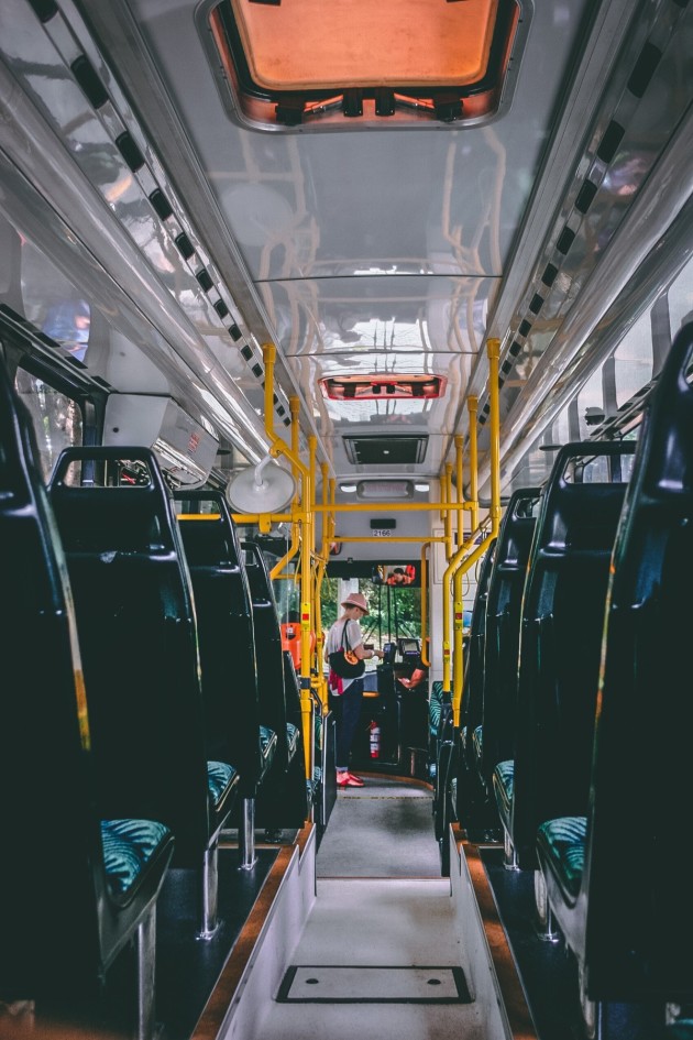
Relying on public transport can get the better of you at times, especially when you've had a draining day in work, it's lashing rain outside and your bus has magically vanished from the Real Time.
We're approaching back-to-school season which means the traffic is going to be far worse than it was this summer. Oh how we'll treasure those blissful mornings when our bus could actually drive through Rathmines.
Google Maps has always helped you get from place to place, whether you’re driving, walking, biking or taking public transport. And we know that journeys can be complex, often involving multiple modes of transportation to help you get around town.
Today, we’re making it easy to pair public transport directions with biking options so you can travel that first or last mile with ease — like when you’re headed to work at the peak of the busy back-to-school season so you need to ride your bike to the nearest bus stop to make that important 9 a.m. meeting on time.

Here’s how it works:
-
Enter your destination in the search box, tap on “Directions” and then on the public transport tab.
-
From there, you’ll automatically see routes that feature cycling options paired with public transport directions.
-
If you’re biking, you’ll see routes tailored for cyclists along with everything you need to know about the public transport portion of your journey.
-
All of this information is automatically factored into your total travel time and ETA so you can know exactly when you’ll get to your destination.
Public Transport directions paired with biking will be available on iOS, with Android rolling out in the following weeks.


